

Last updated on June 8th, 2026 at 04:25 pm
I joined a group hiking trip through Yosemite National Park and the Sierra Nevada before taking a two-day road trip along California’s beautiful central coast, where I hiked a couple of additional trails. As it was my first time hiking in California, I wasn’t quite sure what to expect.
I needn’t have worried though. Although there are plenty of tough hiking trails in California, there are many easier ones that are perfect for first time hikers or families.
In this post I’ll set out the 8 easy hikes I did. I’ll also provide a few trail specific hiking tips and some general hiking tips and observations gained from my own experience of hiking these trails. I have written a separate, more detailed blog post on hiking each trail, however I hope that by collating them all here, it will make it easier for you to plan your hiking trip to California.
There are of course many more easy hiking trails throughout California….and when I have done them, I’ll be posting about them!
8 Easy Hikes for First Timers
My experiences hiking in California are limited to Yosemite National Park, the Sierra Nevada region, San Francisco and the central Californian coast. I have therefore grouped the trails according to area, that way you will be better able to plan your own itinerary.
1. Yosemite National Park
a) Tuolumne Grove of Giant Sequoias, Yosemite National Park
If you want the experience of hiking through some Giant Sequoia trees, then add the Tuolumne Gove of Giant Sequoias to your list!
This Trail is located on Tioga Road just east of Crane Flat on the western edge of Yosemite National Park. The Grove is open all year round.
The Trail details are:
- Distance: 2.5 miles (4 kilometres; 4.3 kms according to AllTrails) round trip
- Elevation Gain: 500 feet (152 metres) on the return trip
- Difficulty: Moderate (according to AllTrails)
- Time: 1-2 hours
Hiking Tip: be aware that the hike back to the car park is steep. You hike downhill as you enter the grove and therefore you regain that elevation on the way back! The Trail itself is generally flat and well paved however.
To learn more about this Trail, do read my post Tuolumne Gove of Giant Sequoias – Is the Trail Worth Hiking?


b) Pothole Dome, Yosemite National Park
There are a number of granite domes in Yosemite National Park that visitors can climb. Some, such as Half Dome, are very challenging whereas others, such as Pothole Dome, are far easier.
Pothole Dome is located on the western edge of Tuolumne Meadows, along the Tioga Pass Road about 1 mile west of the Tuolumne Meadows Visitor Center. There’s a small parking area on Tioga Road adjacent to Pothole Dome.
The Trail makes for an easy out and back hike, the details of which are:
- trailhead elevation is around 8,500 feet (2,550 metres)
- Pothole Dome stands 8,760 feet (2,670 metres) high
- total elevation gain is around 260 feet (79 metres)
- distance is around a couple of miles (3.2 kilometres) round trip
The hike will take anywhere from an hour if you just hike up the Dome or longer if you head through the trees at the bottom of the Dome and toward the Tuolumne River. I would highly recommend this as the river and Tuolumne Meadows are beautiful.
Hiking Tips: watch your footing, especially as you come down off the Dome. Also, wear sunglasses if the weather is sunny – the Dome gets pretty bright!
To discover more about the Pothole Dome Trail and Tuolumne River, read my post Pothole Dome – An Excellent Hike For All The Family.


2. Sierra Nevada
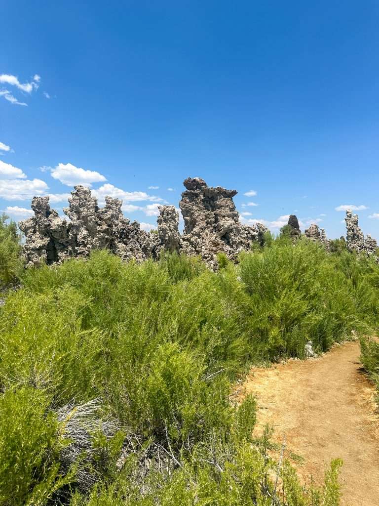
a) Mono Lake South Tufa Trail, Mono County
If you’re looking for something other worldly and not what you might typically expect to see in California, then the Mono Lake South Tufa Trail is for you!
Mono Lake is 2.5 times as salty and 80 times as alkaline as the sea and is one of the oldest lakes in North America. The strange looking structures in and around the lake are called Tufa Towers and are formed when freshwater springs mix with the alkaline water of Mono Lake.
The South Tufa Trail is located at the end of Test Station Road off Highway 120 and close to Highway 395 near the town of Lee Vining.
The Trail is a circular trail about 1.4 kilometres (0.8 miles) long. Elevation gain is 9 metres (29.5 feet). The hike is basically a self guided nature trail – check the official Mono Lake Committee website for a great audio recording and written transcript of their self guided tour.
Hiking Tips: there is no shade when out on the Trail so when hiking in the Summer do wear a hat and sunscreen and carry water – there is no water available on trail and remember…the lake is salty! Take binoculars so you can look out for the Ospreys who build nests on the top of some of the tufa and don’t climb on the tufa.
To learn more about this Trail and the strange environment in which it’s located, do read my post Hiking the Unusual Mono Lake South Tufa Trail.

b) Convict Lake Loop Trail, Mammoth Lakes
An alpine lake, beautiful mountains and an intriguing back story combine to make this a great hike.
Convict Lake is located within the Inyo National Forest, just south of Mammoth Lakes off Highway 395. The Trailhead starts from the car park at the end of Convict Lake Road.
The Convict Lake Loop Trail details as set out on Alltrails are:
- Length – 4 kilometres (2.5 miles)
- Elevation Gain – 55 metres (180 feet)
- Average Time – 54 minutes
- Type – circular
Convict Lake is a very popular spot for fishing, boating/kayaking and picnicking in addition to hiking.
Hiking Tip: Parts of the Trail are without shade, so be sure to wear a hat and sunscreen and take water when hiking in the Summer months.
To discover more about hiking the Convict Lake Loop and why the lake has the name it does, read my post Convict Lake Loop Trail – An Easy But Beautiful Hike.


c) Echo Lakes Trail, South Lake Tahoe
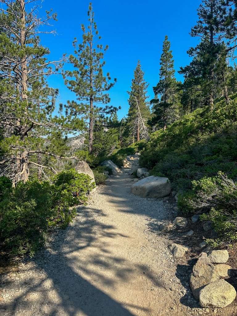
The Echo Lakes Trail is a lakeside route surrounded by stunning alpine scenery. Echo Lakes comprises two lakes – Lower Echo Lake and Upper Echo Lake – and it’s possible to hike one or both of them. I hiked Lower Echo Lake.
Lower Echo Lake is located at the top of Echo Summit at the end of Echo Lakes Road about 10 miles from South Lake Tahoe off Highway 50.
I have extracted the information below from the AllTrails website – it covers the entire Echo Lakes Trail, although I only hiked along the Lower Echo Lake section and not to or along Upper Echo Lake:
- Distance: 8.5 kilometres (5.3 miles) (out and back)
- Elevation Gain: 156 metres (511 feet)
- Difficulty: Moderate
- Time: around 2 hours
The Trailhead elevation is 2,298 metres (7,540 feet).
Hiking Tips: Echo Lakes Trail is popular and gets busy so the advice is to arrive early. The Trail surface is rocky so wear supportive hiking shoes and don’t forget to take in the views toward Lake Tahoe before or after your hike.
If you want to learn more about hiking this part of the famous Pacific Crest Trail, then do read my post Beautiful Echo Lakes – A Guide To Hiking Lower Echo Lake.

3. San Francisco
Lands End Trail, San Francisco
Hiking might not be something that immediately comes to mind when thinking about San Francisco, but in fact there are a number of urban hiking trails in and around the city.
I hiked the Lands End Trail, a coastal trail offering beautiful views over the Pacific Ocean and toward the famous Golden Gate Bridge.
The Lands End Trail is located in the north west corner of San Francisco on the Californian coast. It is part of the California Coastal Trail and lies within the Golden Gate National Recreation Area. Its location makes it easily accessible from Downtown San Francisco so you’ll likely see both locals and visitors on the Trail.
The Lands End Trail details set out on AllTrails are:
- Distance: 5.5 km (3.4 miles)
- Elevation Gain: 169 metres
- Difficulty: Moderate
- Type: Circular
- Time: around 1.5 hours
I did not walk the circular loop. Instead, my hike began at the Lincoln Park Steps and ended at the Lands End Lookout Visitors Center.
There are a few steps to negotiate on the Trail but overall the pathways are generally flat and easy to walk on. With both natural beauty and some historical sites to see, the Lands End Trail is a great hike for all the family.
Hiking Tip: Stay on the trail. There are some dangerous cliffs at Lands End and I have read where hikers have died after falling from them. Make sure you comply with all trail signage.
You can read more about this Trail in my post Hiking the Beautiful Lands End Trail – A First Timer’s Experience.


4. Central California Coast
a) Bird Island Trail, Point Lobos State Natural Reserve
Bird Island Trail is one of several hiking trails located within the Point Lobos State Natural Reserve a few miles south of Carmel, California. The Trail runs along part of the coastline and through pine forest and coastal scrub. In addition, you see a couple of well known beaches – Chine Cove and Gibson Beach – along with Bird Island itself.
The Bird Island Trail details as set out on AllTrails are:
- Length – 1.3 kilometres (0.8 miles)
- Elevation Gain – 27 metres (88.5 feet)
- Average Time – 19 minutes
- Type – out and back
- Difficulty – easy
Keep an eye out for harbour seals, sea otters and, of course, a lot of birds!
Hiking Tip: Gibson Beach has been accessible in the past however it was closed when I hiked this Trail – check the official California State Parks website for up to date information ahead of visiting.
You can read more about hiking this Trail in my post Bird Island Trail – A Hike In Wild & Beautiful California.


b) Redwood Grove Loop Trail, Henry Cowell Redwoods State Park, Santa Cruz
The Redwood Grove Loop Trail is located within California’s Henry Cowell Redwoods State Park in the Santa Cruz Mountains. The Park is most well known for its 1,750 acres of old growth redwood forest and as you hike along the Trail you will very much feel as though you are walking amongst giants!
The day use area within the Henry Cowell Redwoods State Park is located at 101 Big Trees Park Road, Felton, California 95018. For day users such as I was, the entrance is located along Highway 9 and the car parking area is at the end of North Big Trees Park Road. We travelled from Santa Cruz and the driving time was less than 20 minutes.
The Redwood Grove Loop Trail details set out on AllTrails are:
- Distance: 1.4 kilometres (0.8 miles)
- Elevation Gain: 13 metres (42 feet)
- Estimated time: 18 minutes
- Difficulty: Easy
The Trail is a circular trail. The paths are flat the entire route and are well shaded, of course! The Trail is also wheelchair accessible. Although the estimated time is only 18 minutes, you could easily spend an hour or more here.
Hiking Tip: Pick up a self-guided Trail map from the Visitors Center. As you hike the Trail, you will see numbers in front of some trees. These numbers correspond with the information on the map.
Discover more about this Trail in my post Redwood Grove Loop Trail – A Beautiful Hike Amongst Giants.


General Hiking Tips
In addition to the Trail specific tips I have included above, here are some general hiking tips and observations gained from my experience hiking in California:
- wear clothing suitable to hike in e.g. fitness/exercise clothing, hiking trousers/shorts etc.
- wear comfortable, supportive hiking shoes
- carry water – in most cases, there is no drinkable water source on these trails
- wear sunscreen
- wear bug spray
- consider using hiking poles if you could benefit from added stability or have joint issues
- check the relevant official National Park or State Park website for up to date visitor information including as to road closures and conditions
- keep your distance and don’t feed any wildlife
- check Trail signage – drone usage for example is not permitted on most Trails
- make sure your phone and camera are charged before starting your hike
- leave no trace!
Final Thoughts
Hiking in California is a wonderful experience but it pays to stay within your limits and hike the easier trails to start with. These 8 hikes that I did gave me a great opportunity to see different environments and landscapes all within the same State. Add to that some lovely wildlife experiences (no bears, save for the one that ran in front of the car as we left Mammoth Lakes!) and you have the ingredients for a great trip to California.
Full disclosure – I did hike a much harder Trail when I was in Yosemite – the Mist Trail to the top of Vernal Falls. To learn more about that Trail and the 3 sections available to hike, do read my post Hiking The Mist Trail to Beautiful Vernal Falls – What To Expect.
Finally, if you need any general assistance with planning a trip to California (or any trips for that matter!), then check out my Resources page.
Happy hiking!

Disclaimer – Information correct at the time of writing but do check before visiting.



Leave a Comment